


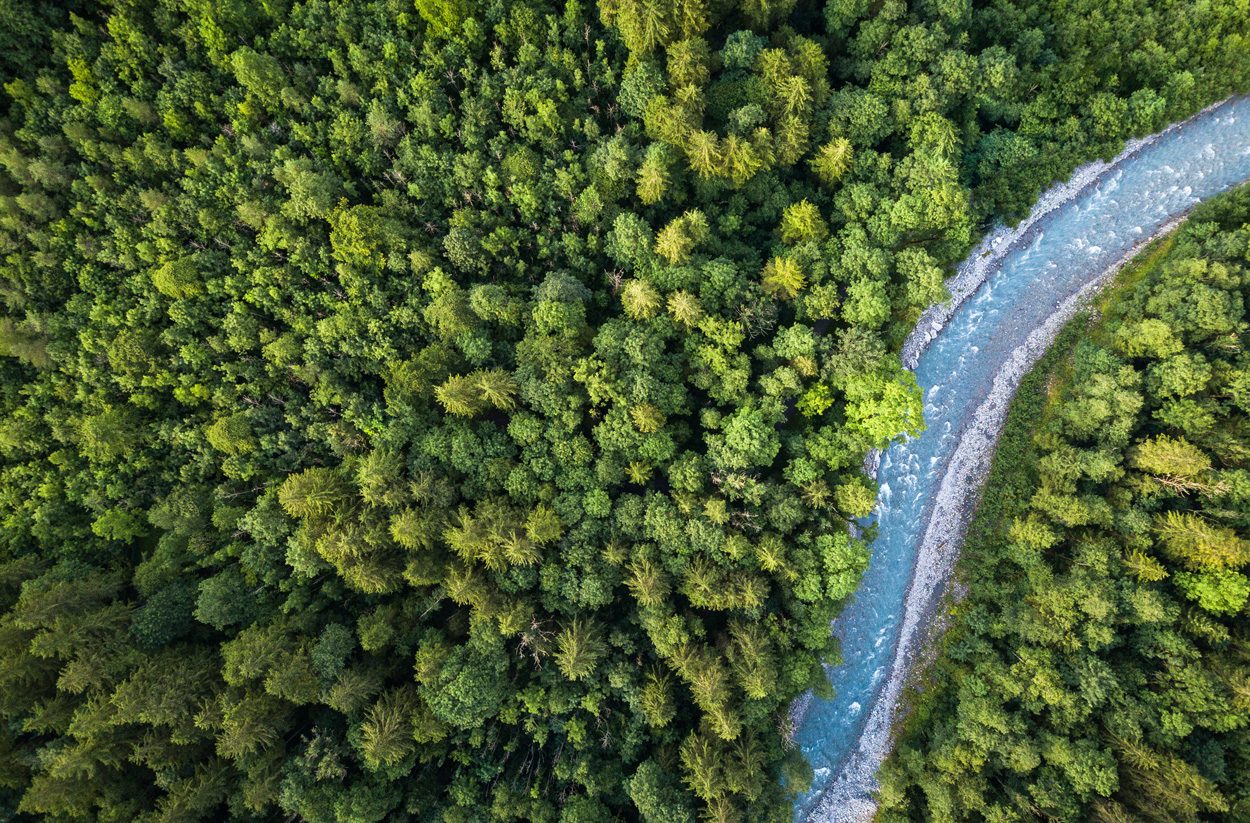
The height of the trees provides much information about the structure and condition of deciduous and tropical forests. Scientists have now succeeded in creating the world’s first high-resolution vegetation elevation map from satellite images with the help of an artificial neural network. The map could provide crucial clues to combating climate change and species extinction.
The United Nations (UN) initiative aims to restore as many damaged ecosystems as possible by 2030 and prevent further destruction. However, for such projects, actors need accurate data sets on the state of ecosystems, such as measurements and maps of plants and tree populations. In order to deal with this, massive amounts of environmental data must be displayed and interpreted – a task that would be nearly impossible for humans to do, but well suited to artificial intelligence.
Satellite imagery training
For this reason, Nico Lang of the Technical University of Zurich (ETH) and colleagues have developed a machine-learning algorithm capable of automatically analyzing large-scale environmental data. The algorithm is based on a neural network that can derive the height of trees from satellite images. To make this possible, Lange trained the computer with millions of images beforehand, indicating which satellite image represented the height of the tree. After this training phase, the neural network has attached itself in such a way that it can, on its own, associate the new satellite images with the correct tree height – it has learned the task.
Images from ESA’s Copernicus Sentinel-2 satellites served as input to training the network. These satellites record every location on Earth every five days at a resolution of 10 x 10 meters per pixel. These are the best images currently available to the public. Tree height information, also required to train the network, was randomly selected in different regions of the world by the NASA Jedi mission. According to Lang, the crucial advantage is that the computer comes into contact with different types of plants during the training process – whether it is the spruce forests of Northern Europe or the kapok trees of South America.
Information on the status and changes in forests
Thanks to this training, the researchers were able to use their algorithm to create a global map of tree heights based on data from more than 250,000 satellite images. The ten-by-ten-meter resolution is particularly noteworthy: map users can zoom in on any piece of forest on the ground to read the height of the trees. According to Konrad Schindler of ETH Zurich, the possibilities arising from this information are far-reaching: “About 95 percent of the biomass in a forest is in the wood, not the leaves. Therefore, biomass is closely related to altitude.”
So tree height also provides information about how much carbon can be stored – and thus about the importance of forests in the climate system. Together with the so-called elevated carbon stock approach, which ranks forests according to carbon storage and biodiversity, the vegetation elevation map is an important basis for maintaining and enhancing ecosystems. However, the data are only partially encouraging in this regard: according to the research team’s calculations, only five percent of the Earth’s land area has trees over 30 meters high. Of these, only 34 percent are in protected areas.
How is the forest changing?
Thus, the map could also be of interest to governments, administrations and environmentalists’ associations: “Thanks to Sentinel-2, we can recalculate vegetation heights every five days and thus have a monitoring system to monitor deforestation,” says Nico Lang. The damage caused by wildfires can also be better estimated using the updated tree height map. The map also offers interesting insight into the different forest structures: “We’ve really been able to detect interesting patterns,” Schindler says. “In the Rockies, for example, forests are planted in fixed squares and rainforests also form interesting structures that cannot be accidental.” Now ecologists can interpret patterns and data recorded globally.
Source: Swiss Federal Institute of Technology Zurich (ETH Zurich); interactive map Global Parachute Height 2020

“Alcohol buff. Troublemaker. Introvert. Student. Social media lover. Web ninja. Bacon fan. Reader.”
More Stories
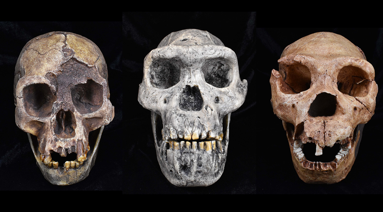
Competition shaped early human evolution – forschung.de
Help from Eching brings Finn's battle back to life
Science – Bocking – Blue tits: more unfaithful offspring among older males – Bavaria